|
IWAS: Lets Map Do Brazil
| Duration |
2009 –2013 |
| Target |
GISCAME was applied in the sub-project „sediment genesis, transport and accumulation, including sediment-water-interactions“ with the target of assessing sediment input in reservoirs as well as countermeasures. Using the GISCAME technology as a basis, a specific decision-support-tool was to be developed. |
| Background |
Regional Climate Change, heavy population growth, and land use change influence water resources of the federal district Brasilia significantly. Sediment input in drinking water reservoirs are a big problem for its management, because they reduce the reservoir volume and they are potential sources of nutrients and pollutants. The project addressed the sustainable protection of water supply. |
| Region |
Federal district of Brasilia, Brazil |
| Tools |
Letsmap do Brazil |
| Apporach and Results |
Letsmap do Brazil was applied to simulate sediment balances and sediment management strategies. With the help of the sediment balances, big sediment sinks and sources were identified. Letsmap do Brazil served as tool for estimating the efficiency of measures for minimizing sediment genesis.
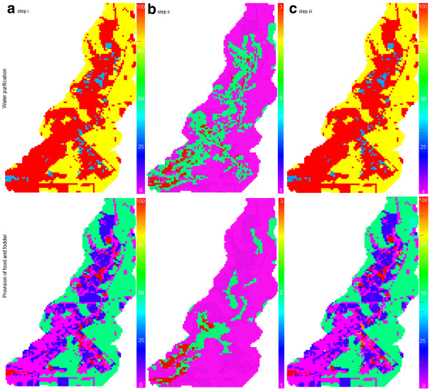
Consequences of land use change were estimated with the help of LPFs (landscape process functions) (Koschke et al. 2014, Figure). The users benefited from the easy, web-based access, fast calculations, a comprehensive structure, and a high user-friendliness. Letsmap do Brazil simplifies decision-making in managing catchments and sediment lows.
Furthermore, it enables laymen to join and practice such decision-making-processes. Due to its high flexibility, transparency and easy handling, Letsmap do Brazil could be used as universal catchment management and land use planning tool. |

Further information can be found here.

|