|
SG4GISCAME
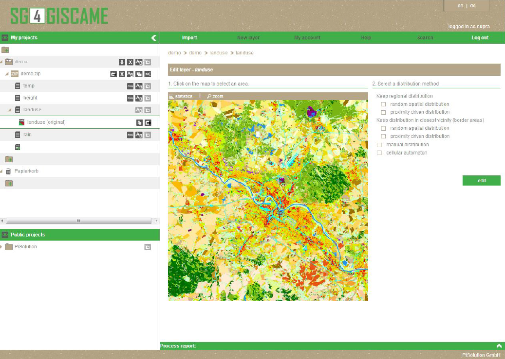
The structure generator is one of the three components of the GISCAME suite. Data can be exchanged among GISCAME, SG4GISCAME, and OSM4GISCAME in the form of zip-containers. The structure generator is applied
 if data need to be generated area-wide, if data need to be generated area-wide,
 if data gaps need to be filled, and/or if data gaps need to be filled, and/or
 if the thematic resolution of a map should be increased. if the thematic resolution of a map should be increased.
It was developed with the target of facilitating land use change simulations also in areas, where few data is available. Gaps in land use gap, which might occur due to clouds on satellite-derived land use data, can be filled with the help of a choice of different methods. Also attribute layers, which contain information on climate parameters or site conditions, can be processed with the help of the structure generator.
Data gaps, whole regions, or cells of one type (e.g. one land use type) can be processed with various algorithms. The distribution of the missing cell properties happens randomly or on the basis of user-defined rules. In this context, for example, the share of land use types, or neighbourhood-effects are taken into consideration.
Currently, the structure generator is being applied in the context of WASCAL, a project, which is carried out in several West African model regions and where the scientists have to work with data of low thematic resolution or even data with spatial gaps.

|