|
Automatic Attribute Management System (AAMS)
The AAMS Add-On facilitates the combination of data layers with an AND- or OR-operator. For the simulation of land use scenarios, new data layers can be produced, which contain the information of two layers. This is a feature, which is used also in other GIS-systems for joining spatial data.
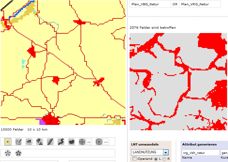
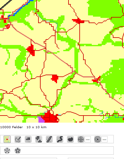
The purpose of the add-on is the automatic change of a map according to planning and development goals. One example of application is the scenario “afforestation”: By joining two attribute layers “development types of Saxon forests (Eisenhauer and Sonnemann, 2009) and “priority areas for afforestation” and”…for nature and landscape” of the regional planning authority Upper Elbe Valley/Eastern Ore Mountains (2009), adequate, Climate Change adapted and site specific forest development types are assigned to potential afforestation areas. The figures show a poorly structured, open agricultural area (left), the identification of priority areas with the help of AAMS (middle), and on the right side, the resulting map of the simulated land use change.
 --> --> 
|